…Benefits of integrating in Project Monitoring & Evaluation
Project Monitoring is one of the five phases in Project Management. This activity happens concurrently with the execution phase of a project. To keep the project running smoothly, project progress and performance are measured in this phase. Mechanisms are put in place to track variations from the project objectives, scope, cost and time.
Monitoring and Evaluation (M&E)
Monitoring is an orderly collection and analysis of information to track the progress of project execution against stipulated targets and objectives so that actions can be taken to quickly correct any deficiency identified. Evaluation is the objective assessment of a project, its execution and results. It explains why targets are / are not being accomplished and addresses issues of causality. It provides lessons, highlights important accomplishments and offers recommendations for improvement.
M&E is supposed to cover the life cycle of every project to provide feedback on the project success or failure. Feedback from M&E during project execution can help make modifications to improve the prospect of sustaining a successful project.

Geographic Information System (GIS)
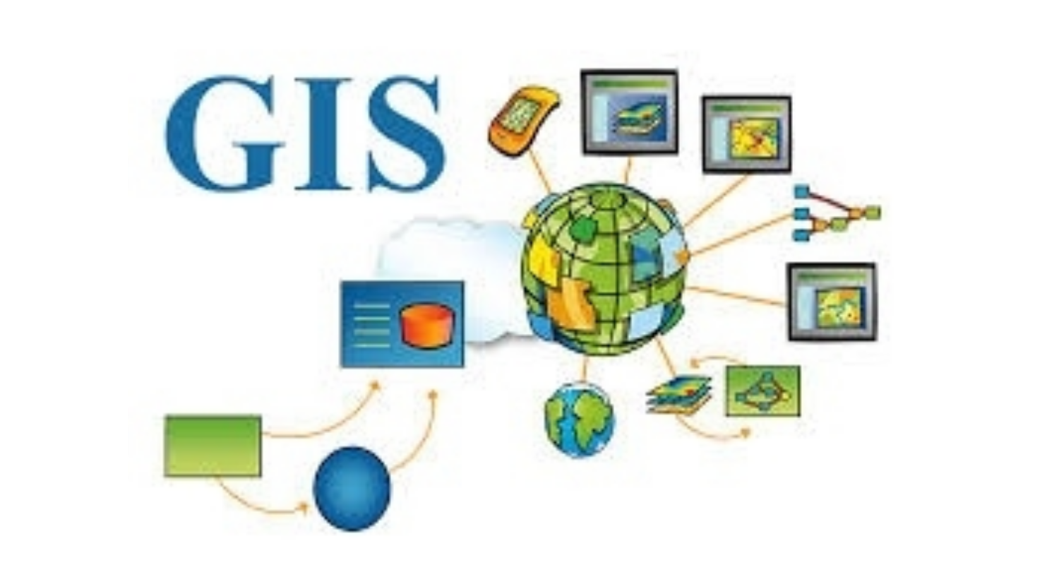
GIS is a collection of computer hardware, software, data and people for capturing, storing, manipulating, analyzing, displaying and sharing spatial (geographical) data. It allows users to understand, interpret, and visualize data in the form of maps, globes, reports and charts.
There are over 1001 uses of GIS, spanning across various disciplines like Agriculture, Banking, Business & Commerce, Security, Education, Environment, Health, Engineering, Insurance, Mining, Governance, Real Estate, Journalism, Telecommunications, Tourism, Transportation etc.
GIS applications can be bought or downloaded free online. There are hundreds of GIS applications such as QGIS, ArcGIS, SAGA GIS, GeoDa, eSpatial, Maptitude etc.
GIS and M&E
The use of GIS in M&E has been in existence for centuries, even prior to the emergence of computer-based GIS. A classical case is in 1854, where Dr. John Snow used maps in M&E to depict a cholera outbreak in London. He did this by using points plotted on a map to represent the locations of individual deaths from cholera. This helped him to identify the source of cholera contamination to be the drinking water from the Broad Street pump.
Although the integration of GIS into M&E has not gained enough grounds, some non-governmental and not for profit organizations in Ghana have religiously implemented this integration in their projects. Such organizations include DKT International., Catholic Relief Services (CRS), World Vision International and Global Communities. Some governments and international organizations such as Millennium Development Authority (MiDA), USAID, UNICEF, World Bank and United Nations have also done same. All these organizations continue to enjoy the tremendous benefits of such integration.
Although, the integration of GIS into M&E is very important and beneficial, it may not be applicable in all projects. According to Catherman (2013), GIS can be applied in M&E, if any of the following conditions exist in a project:
- If the project to be monitored and evaluated has discrete geographic points or areas where activities and results are measured.
- If data collected in an already developed M&E system have spatial parameters (coordinates) attached to each sampled data point.
- If there is support within the organization for a map-based monitoring and evaluation reporting system.
- If presenting of information using map-based outputs will add value to the project.
Benefits of Integrating GIS into M&E
Integrating GIS into project M&E provides immense benefits to project sponsors, project managers and other project stakeholders.
- It ensures effective communication of results to project stakeholders. The use of maps to report M&E findings helps to communicate outcomes in a more comprehensible manner. A well-designed map helps readers with different backgrounds to interpret information with ease.
- It ensures easy project monitoring: It helps to monitor projects between multiple sites without travelling to the sites. It helps get a clear picture on the state of projects by visually displaying the exact location, time and state of projects at any given time.
- It ensures evidence-based reporting: It provides a pictorial map-based records about the state of projects and can easily generate reports for same. It provides a high level of confidence about the progress of project and can help to easily determine the quality of work done.
- It supports decision making by helping to make easy and informed decision
- It helps make good use of limited resources and help save substantial project cost
- It provides up-to date information on progress of work and helps to provide real time response
Conclusion
Using GIS in M&E will require additional efforts and resources from organizations; special skills and technologies will be needed to realize this. It should however be noted that, the benefits far outweigh the initial cost of investment. With such integration, projects and programs can be successfully executed as planned with all their intended objectives, excellently accomplished.
Author: Sherrif Issah – (Consultant @ Digital Jewels Ltd. and Member: Institute of ICT Professionals, Ghana)
For comments, contact the author sherrifi@digitaljewels.net Mobile: +233243835912


